Sunday, January 16, 2011

Marguerite Island - Antarctic Peninsula

Ship's Coordinates:  -67.71S, -67.73W (anchored)
Air Temp: 2.5C
Sea Temp: 2C

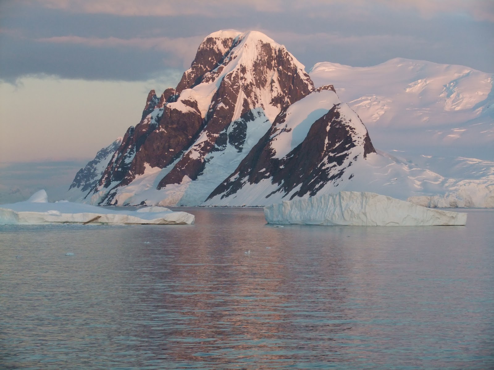
This morning we anchored in the Marguerite Channel in the Southernmost point ever reached by the World.   Tourist traffic is definitely not a problem here since there are very very few ships find the right weather and ocean conditions to make it all the way down this far South- supposedly only around 500 people per year.

We visited Pourquoi Pas Island, were we saw a colony of Adelie Penguins and their chicks - very busy penguins always going back and forth from the ocean.  We also took a walk to get close to the glacier and a few more icebergs for good measure!


Stamattina  la nave si e' ancorata nel Canale di Marguerite, il punto piu' a sud mai raggiunto dalla nave.  Il traffico di turisti non e' proprio un problema qui, dove meno di 400 persone all'anno riescono ad andare a terra, pochissime navi riescono a trovare condizioni metereologiche tali da consentire la navigazione.

Abbiamo preso il nostro solito gommone Zodiac ed abbiamo fatto una breve sosta a Pourquoi Pas Island, dove abbiamo visto una colonia di pinguine Adelie ed i loro piccoli - tra le specie viste finora, decisamente molto attivi.  Abbiamo anche fatto una passeggiata per avvicinarci al vicino ghiacciaio.

Adelie Penguins on the beach

Puorquoi Pas and The World

At the Glacier

Pourquoi Pas Glacier

Glacier from the ocean

Small iceberg 

Blond Seal

2 good friends on an iceberg
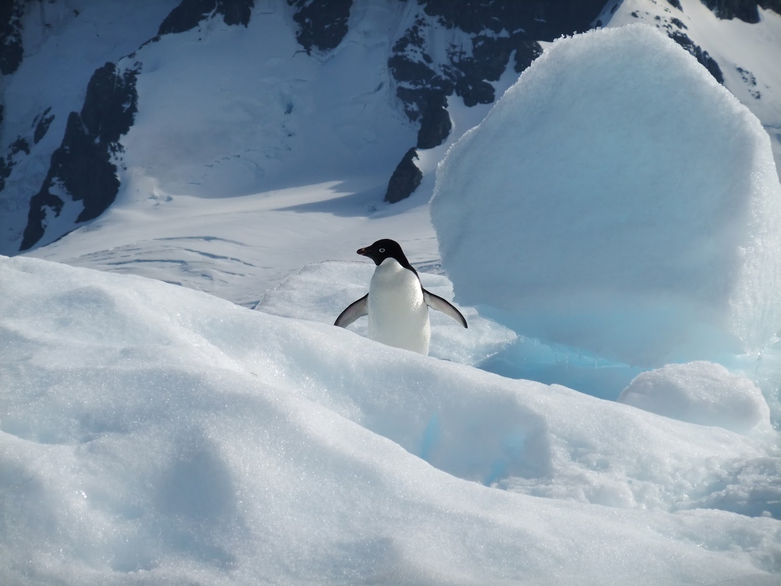
Adelie penguin on an iceberg

Marguerite Channel - Antarctic peninsula - midnight sun

This evening we were able to take photos of the midnight sun.

Foto del sole di mezzanotte.


Detaille Island - Antarctic Peninsula

In the afternoon, we went kaiaking in the Antarctic Ocean.  We were wearing dry suits and it was quite comfortable, not cold at all.  Afterwards, we went to Detaille Island to visit an abandoned british research facility, used until 1959.

Nel pomeriggio siamo usciti con le canoe, ovviamente con mute e guanti, si stava bene.  Subito dopo siamo andati a visitare a Detaille Island dove abbiamo visto un centro di ricerca britannico in uso fino al 1959.

Gary in a dry suit

Angelica in a dry suit

Gary kaiaking among the icebergs

Iceberg from the kaiak

Angelica testing the kitchen at Station W

Station W

Skua nesting

Saturday, January 15, 2011

Lamaire Channel and Crossing the Antarctic Circle

Ship's Coordinates:  -66.35S, -67.38W (moving South)
Air Temp: 1.6C
Sea Temp: 2C

This morning we will cross the Antarctic Circle which is at -66.33S.  The weather is quite a bit cloudier but the seas are calm and the sailing is smooth.  As of 3 days ago, the Ice Captain is on duty as well, very large icebergs are visible on radar so they are not dangerous for the navigation, but sometimes they will block a passage and the ship has to be rerouted or turned around.  Fortunately for us, yesterday the Lamaire Strait was free.

After leaving Neko Harbour yesterday evening, we passed by the Lamaire Strait, at 11pm, the sun was just skimming the horizon and the scenery was stunning.  We were on the Helipad on the ship on Deck 7 and were able to take some amazing photos.  It quickly turned very cold on Deck, but most the the ship's passenger were on deck for the photo opportunities.


Stamattina attraverseremo il Circolo Polare che si trova a -66.33S.  Il cielo e' coperto ma il mare e' calmo e la navigazione procede bene.  Da quando siamo in acque antartiche, abbiamo un capitano del ghiaccio.  Gli iceberg sono visibili con la strumentazione di bordo anche a distanza, ma spesso capita che un iceberg blocchi il passaggio di uno stretto e che la nave debba essere dirottata altrove.  Non e' stato cosi' ieri, il passaggio per lo stretto di Lamaire era libero.

Dopo aver lasciato Neko Harbour ieri sera, alle 23 abbiamo superato lo stretto Lamaire, il sole era ancora all'orizzonte ed panorama era bellissimo.  Nonostante il freddo siamo andati a prua della nave dove il capitano aveva aperto il terrazzo per permetterci di fare foto molto belle.

From the 11th Deck - 10pm

10.30pm from the Heli Pad 

Lamaire Strait

From the top of The World 

11pm light reflection

11pm sun close to setting

A view of the bridge from Deck 7

11.30pm - sun set

Reflection of sun setting

Reflection of sun setting on mountain

Friday, January 14, 2011

Neko Harbour - Antarctic Peninsula

On Friday afternoon, we had our first landing on the proper Antarctic continent.  The day was beautiful, we took lots of pictures of the surrounding mountains and glaciers, as well as of the locals - gentoo penguins.

Venerdi' pomeriggio abbiamo messo piede per la prima volta sul continente antartico.  La giornata era bellissima, abbiamo fatto tante foto degli iceberg, ghiacciai, montagne e degli abitanti - pinguini gentoo.

Icebergs on the approach to Neko Harbour


Icebergs at Neko

Neko Harbour

The World anchored at Neko Harbour

Gentoo penguins sunning

Gentoo penguin with a chick

G & A among snow and penguins

Introducing the ship from the top of the hill


Glacier carving

Top of the hill

Windy ridge

Iconic Antarctica: snow, ocean and a gentoo penguin


Gerlache Strait - Antarctic Peninsula

Ship's Coordinates:  -64.311S, -61.972W (moving South)
Air Temp:  2C
Sea Temp: 2C

We are now close to the point in Antarctica where summer is one very long day.  The sun sets lightly at about 11.45 and rises again after 1 hour.  Under a beautiful blue sky, we are navigating South in the Gerlache Strait with the Antarctic Peninsula on one side and many islands on the other.  All the islands are snow capped and the light reflecting from them and the ocean is very special.  I will try and capture it on camera, but I believe any photo will not do justice to the natural beauty.  It is almost as if the Alps had been placed in the middle of the Southern Ocean.

Siamo arrivati alla curvatura sud dove l'estate e' quasi un lungo giorno.  Il sole tramonta - appena - alle 23.45 e l'alba inizia un'ora dopo.  Sotto un bellissimo cielo azzurro, stiamo percorrendo lo stretto di Gerlache ed abbiamo la penisola Antartica da un lato e tanti isolotti dall'altro.  Tutto e' innevato e la luce che viene riflessa dalla neve e dal mare e' molto bella.  Cerchero' di mostrarla in foto, ma non credo che la mia macchinetta possa riflettere questa luce.  E' quasi come se le Alpi fossero nel bel mezzo dell'Oceano del Sud.

Gerlache Strait


Thursday, January 13, 2011

Entering Antarctica - Elephant Island

Ship's coordinates: Lat -61.099S, Long -54.867W
Air Temperature: 2C
Sea Temperature: 0.5C

Just before midnight last night, we officially crossed the 60 parallel South, indicating the political border to Antarctica.  Antarctica is not owned by anyone, but it is managed by a group of nations who have signed the Antarctic Treaty, a protocol agreeing to managing the continent for its preservation and use by humanity at large.  It is the only continent on earth that has no political jurisdiction by one people.  Antarctica is an extremely large continent, 2 times the size of Australia, or about 50 times the size of Italy.  Unlike the Arctic, Antarctica is comprised of a sizable land mass covered by ice, which on average has a thickness of 1km.  The Antarctic Peninsula is the most hospitable area of the continent, and quite frankly, hospitable is a big word here!

Poco prima di mezzanotte della notte scorsa abbiamo ufficialmente attraversato il 60mo parallelo sud che indica il confine politico del continente antartico.  Antartide e' l'unico continente al mondo che non e' occupato ne' politicamente posseduto da nessuno, ma e' gestito da un gruppo di nazioni che hanno firmato il Trattato Antartico, un protocollo in cui hanno concordato di gestire l'Antartide a scopo di preservarne le caratteristiche per il beneficio di tutta l'umanita'.  E' un continente grandissimo, il doppio dell'Australia e 50 volte l'Italia, coperto per la grande maggioranza da ghiaccio, profondo in media 1km.  La Penisola Antartica e' la zona piu' accogliente di tutto il continente, e credetemi, accogliente e' una parolona qui!

First small icebergs at Elephant Island

Elephant Island - glacier 

Elephant Island

The World with Elephant Island in the background (from the Zodiac)

The World 

On the Zodiac at Elephant Island

Sun on Elephant Island

Our first iceberg sighting!